|
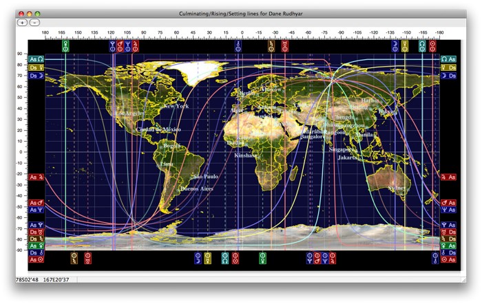
Timepassages 5 world map from astrograph.com
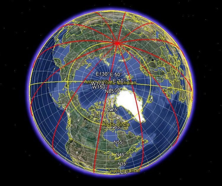
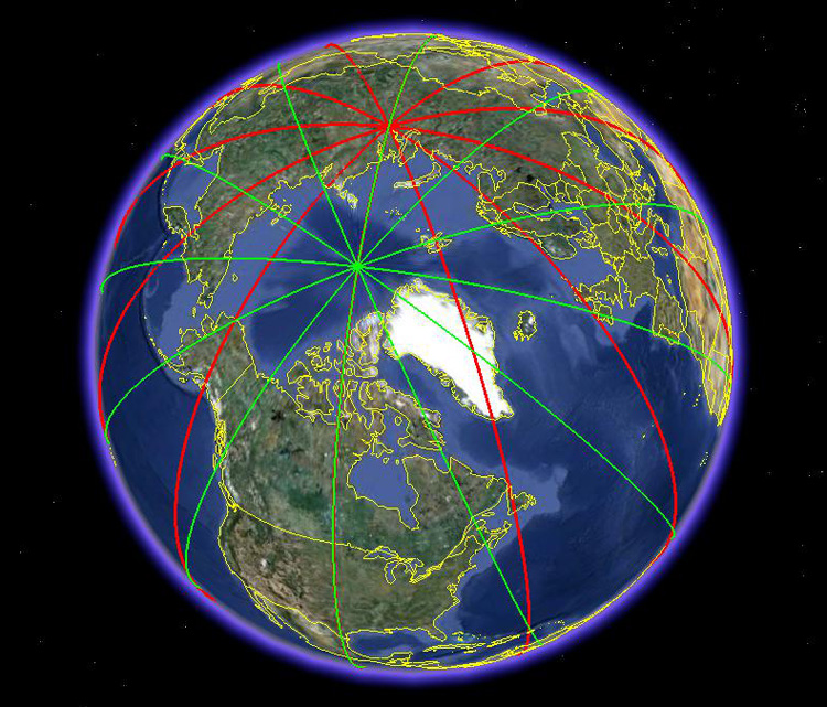
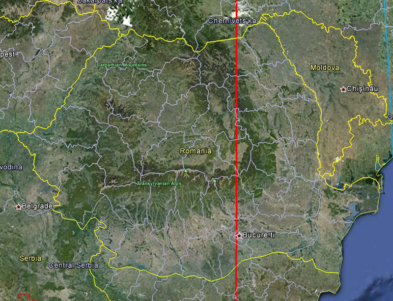
Satellite maps are the new wave in astro-locality. Now there is the possibility that you can see your planet lines down to a city block or house! Of course you need to have a precise time of birth to enjoy this kind of detail, but it's all being made possible by today's computers and satellites in conjunction with astrological programs or software. Such programs are slowly being developed and making their way into the public and this is great because I'm 100 per cent certain there is a demand for this. I'd love to see a marriage between Google Maps or Google Earth and Astro-Locality! Come on all you astromapping sofware designers -get with it and incorporate satellite imagery into your programs! I want to see my planet lines down to a city block! Astro-Map-Links incorporates Google Maps for both mundo and zodiacal. Timepassages 5 (advanced edition) from astrograph.com also uses Google-type satellite maps in their software , as do Capricorn Astrology's Prometheus, and Astro.com's AstroClick Travel. Note: You can do this freely for your Midheaven lines(since they're all perfectly vertical) at frappe.com/IsoLonLat.html(http://mapfrappe.com/IsoLonLat.html). Just convert your MC longitude into its decimal equivalent and plot it into the co-ordinate box. Or you can use Google's GPS visualizer(http://www.gpsvisualizer.com/draw/), or My Google Maps Tool(http://www.birdtheme.org/useful/googletool.html"). You'll be able to see your line at all latitudes and zoom to your heart's content. If you have Google Earth, you can plot your planets using the placemark tool. Of course, you'll need to know the precise longitude and declination equivalents of your planetary positions.  I learned how to manually plot house and planet lines using the path tool in Google Earth. This is easy for the MC lines which are longitudinally vertical(shown below). The Ascendant lines, however, take much more work and time to plot as they are rarely perfectly vertical. I used the Matrix Horizon astrolocality software because of its second of arc precision to calculate the longitudinal positions, and then plotted them manually on the google Earth map using a one degree latitude spacing per plot point.
because of the Earth's axial tilt(23.5°) ascendant lines are distorted and ALWAYS converge
MC lines, on the other hand, are perfectly vertical and always converge at 90° at the 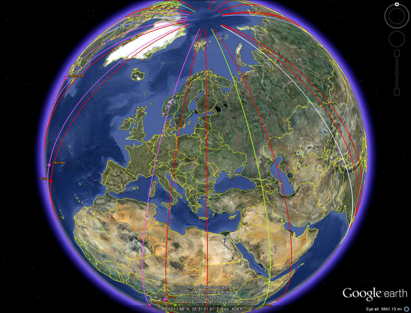
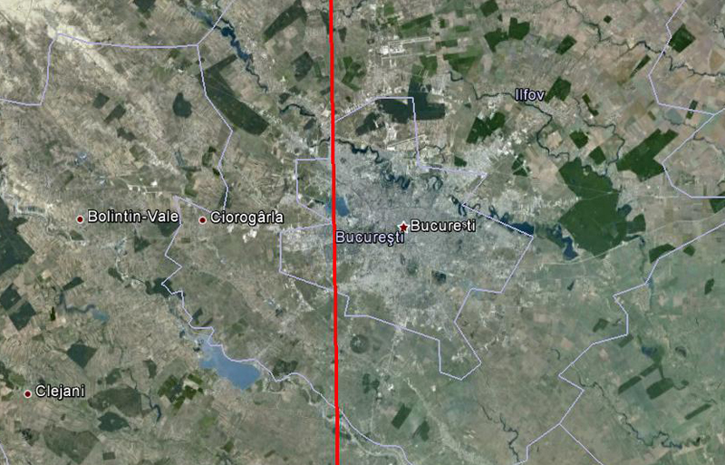
This is the same line at a height of 50 miles showing the borders of the city itself.
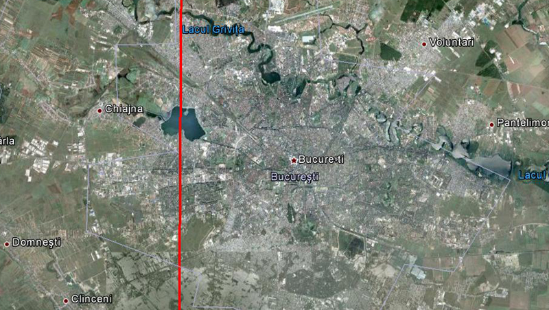
Here is the line at a height of 20 miles showing much of the the city metropolis.
Note: at 12 to 15 miles the line started fading so I had to create a sub-line going over the entire city
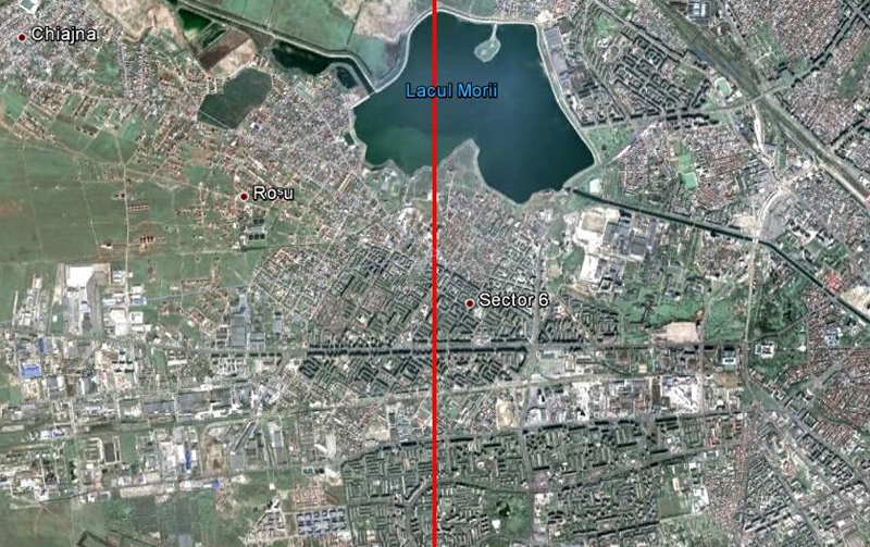
Here is the sub-line at a height of 7 miles showing much of the western side of the city.
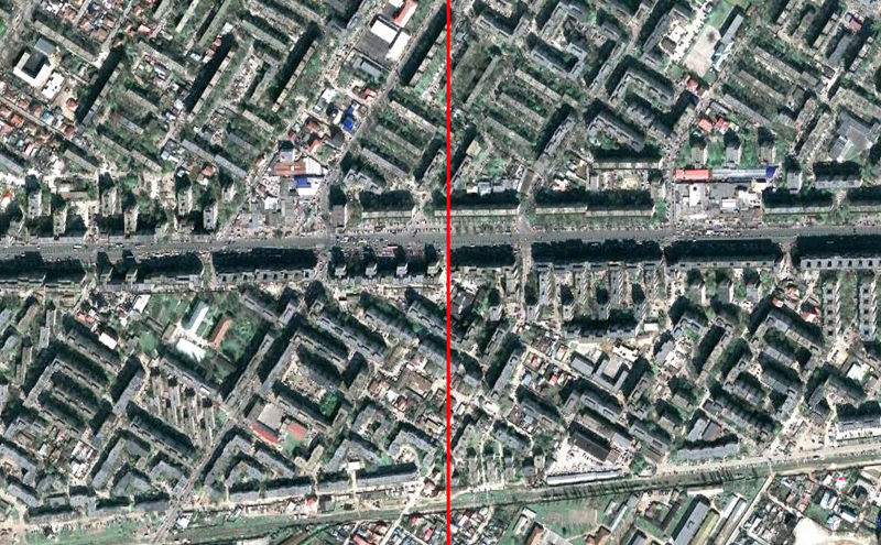
This is at a height of 1 mile where you can start to see the streets and buildings.
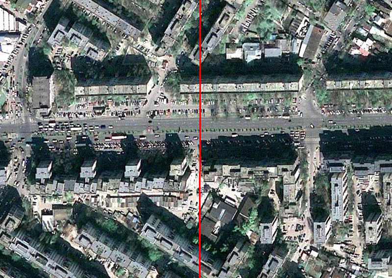
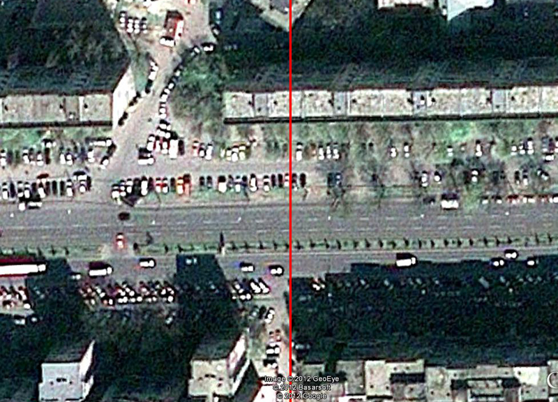
This is at a height of 2000 feet clearly showing the streets and buildings.
This is at a height of 1000 feet. It starts getting blurry here so I did not go any further. back to home |